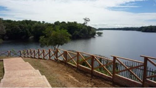
Forget about walking the streets of your favourite cities from your armchair, soon you’ll be able to float down the Amazon and Rio Negro rivers in northwest Brazil and explore some of the most remote and biodiverse areas of the world.
Those enterprising folks at Google have modified the infamous Trike to capture images from the river and from remote communities.
“A few members of our Brazil and US Street View and Google Earth Outreach teams are currently in the Amazon rainforest using our Street View technology to capture images of the river, surrounding forests and adjacent river communities,” Karin Tuxen-Bettman of Google Earth Outreach wrote on the Google blog.
“In partnership with the Foundation for a Sustainable Amazon (FAS), the local non-profit conservation organisation that invited us to the area, we’re training some of FAS’ representatives on the imagery collection process and leaving some of our equipment behind for them to continue the work. By teaching locals how to operate these tools, they can continue sharing their points of view, culture and ways of life with audiences across the globe.
“We’ll pedal the Street View trike along the narrow dirt paths of the Amazon villages and manoeuvre it up close to where civilisation meets the rainforest. We’ll also mount it onto a boat to take photographs as the boat floats down the river. The tripod – which is the same system we use to capture imagery of business interiors – will also be used to give you a sense of what it’s like to live and work in places such as an Amazonian community centre and school.”