
Image: © Syda Productions/Stock.adobe.com
The interactive map shows a range of festive events, including Christmas markets, parades, light shows and ice-skating locations.
Mapping company Esri Ireland has launched a new digital map to show the various festive events taking place across the island of Ireland.
The company released a digital map last year showing some of the top Christmas markets popping up during December.
Its latest map has been expanded to include a range of Christmas events including markets, parades and festivals taking place across the island. Some of the big events include the North Pole Experience in Dublin, the Waterford Winterval and the Cork Christmas celebration Glow.
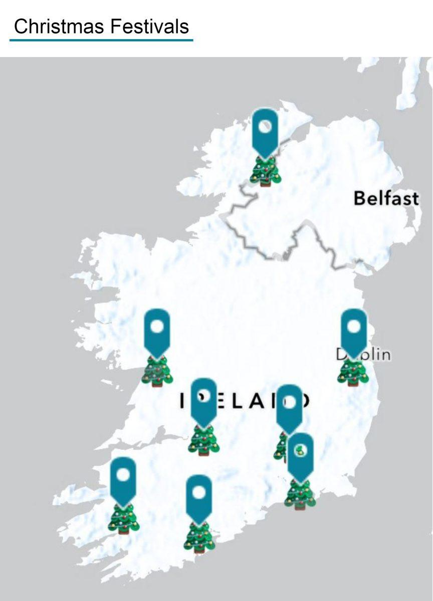
The interactive map shows popular Christmas festivals across the island of Ireland. Image: Esri Ireland
The new Christmas map also includes a list of light shows taking place this month, including spectacles of glistening trees, lanterns, festive trails and illuminated gardens.
Various light displays are highlighted such as the Wild Lights at Dublin Zoo, the Light Up Galway Festival and the Land of Lights in Westmeath.
Finally, the interactive map shows a range of ice-skating events, with locations suitable for various skill levels. Esri said many of the skating rinks also offer special disco, family and kids skating times to choose from.
These interactive maps uses ArcGIS, Esri’s web-based mapping software designed to create smart maps that include relevant data
Christmas isn’t the only festive period mapped by Esri Ireland. It also released an interactive Halloween map, highlighting the locations of pumpkin patches and farms across Ireland that were open to the public.
Esri Ireland is part of the Esri Global Network, a privately held software company with thousands of employees globally. Using geographic information system tech, it helps customers record where things happen and analyse why, with the aim of providing insights and helping to make better decisions.
In July, Esri Ireland released a digital map of Dublin to let people view the city’s rich array of street art and the stories behind the artists that made them.
10 things you need to know direct to your inbox every weekday. Sign up for the Daily Brief, Silicon Republic’s digest of essential sci-tech news.