Using satellite recordings from all three meteorological organisations, a composite video showing every single storm from 2015 is quite the spectacle.
Taking in cyclones in the Indian Ocean, storms battering Vanuatu and synchronised weather events in the eastern Pacific Ocean, the 12 months of wind, rain, snow and sun shows just how comprehensive our knowledge of Earth’s meteorology has become.
Combining data from satellites owned by the European Organisation for the Exploitation of Meteorological Satellites (EUMETSAT), the Japan Meteorological Agency and the National Oceanic and Atmospheric Administration, the video talks us through most of the major events, why they happen and why they end.
Commentary comes from Mark Higgins, a training manager at EUMETSAT, with his organisation behind the visualisation.
The actual graphics you see are composed of a satellite infrared data layer superimposed over NASA’s ‘Blue Marble Next Generation’ ground maps, which change with the seasons.
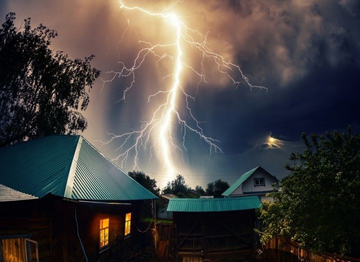
A crazy weather year
As we reported in early January, the number of natural disasters in 2015 spiked above the global average, with storms, flooding, earthquakes and forest fires making for a grim year.
Global events like winter storms, windstorms and flooding culminated for a 2015 chock-full of weather records around the world.
The magnitude 7.8 earthquake in Nepal, which killed thousands, was one of the biggest news events of the year but, elsewhere, 21 tropical cyclones hit land, 40pc above the average. 14 landfalls hit the northern hemisphere alone, with 2015 also the warmest year since records began.
2016 is expected to be similarly warm.
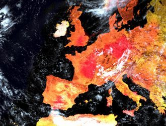
Storm image via Shutterstock