Ireland is a bit warm right now, however, it’s not a heatwave. It’s just warm. But how advanced are our forecasts becoming? And what is a heatwave?
“It’s not a heatwave,” explained Sandra Spillane, meteorologist with Met Éireann. “It’s not even a heatwave in the UK.”
She’s right, of course. As Met Éireann’s climatology and observations division tweeted earlier, there are a few hoops Ireland has to jump through before it can start plastering names like ‘heatwave’ on things.
Ireland needs to ratchet up air temperatures in excess of 25°C, for five consecutive days. We’ve had one (yesterday it peaked at 25.4°C in Phoenix Park), today it’s likely we’ll fall short of that and the next couple of days will be a bit cooler, before it rises again.
“At the moment the jet stream is coming from the Atlantic, curling around Ireland and coming back down again,” Spillane said.
“That jet stream is going to push in, break down and build up again. So we’re not going to get yesterday’s temperatures again for a few days, then it will pick up again.”
In Ireland, the current working definition of a #heatwave is five or more consecutive days with air temp in excess of 25.0°C
— Climate Observations (@METclimate) June 30, 2015
An awful lot of observations
There’s actually a handy website that lists where there are extreme weather warnings, but how do the likes of Met Éireann, and indeed national forecasters around the world, get all their data? How can they establish readings that are in any way accurate?
Well, first off, they get reports on the ground.
Met Éireann, for example, takes in over 1m observations every day on the island of Ireland.
From that, they put out four forecasts.
“That’s what the climatology and observations division processes,” explained Spillane of the mounds of data. Of course, to do that they need some massive super computer, of which “we have a few…”
A little help from the ECMWF
It’s not just readings from Ireland that Met Éireann relies on, there’s also what’s happening elsewhere, heading in our direction. For that, Ireland, and 33 other countries, rely on the European Centre for Medium-Range Weather Forecasts (ECMWF).
The team over at ECMWF – based in the UK – essentially make weather forecasts, for the world, for the next couple of weeks.
Much like Met Éireann, it continuously collects observations from the whole globe. These measurements revolve around, and help establish, the current state of the atmosphere.
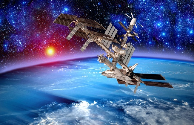
The instruments are as basic as thermometers in fixed boxes on the ground that people read and some that self report, ranging to observations that come from commercial aircraft flying around the world and then the plethora of data streaming in from satellites that peer down on us.
That seems quite a lot of information. “Yes, around 40m pieces a day,” said David Richardson, head of the evaluation section at ECMWF.
That number has skyrocketed 10-fold over the past decade thanks to satellite assistance.
In general, Richardson sees advancements in how we measure weather coming on stream “by the decade”, however, it has all changed recently.
10 times the data in just 10 years
“The biggest thing that has happened in recent years is an exponential increase in the amount of satellite data we get. We have 10 times the number of measurements, if you like, than we had 10 years ago,” he said.
This is a whole new world for meteorologists to operate in, as it’s immensely more data to work off and make equations from.
Richardson and his colleagues pocket all the observations and, twice a day, they put it all together into a map of sorts.
“We create a full picture of the atmosphere,” explained Richardson. “Wind, rain, clouds, radiation, everywhere on the planet. That way we have a snapshot of what it looks like, so we can start from there.”

Start from the bottom, work your way up
From that “base point”, as Richardson calls it, meteorologists write out equations to establish how the wind, radiation or pressure will evolve over time.
“This is just like Newton’s laws of motion with a few extras to show how clouds or heating or radiation works,” he said, underselling it somewhat.
For all of this process to work you need some pretty powerful machines and, as Richardson said, “the bigger the computer, the more accurate you can make your forecasts”.
There’s actually a nice little neverending race between the different meteorology organisations around the world. (For your information, the ECMWF is a bit ahead.)
From that, readings are established and sent to the member states of the ECMWF.
It then updates its apps, tells us what thickness of coat we need to wear to work, and do it all over again the next morning.
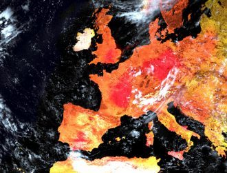
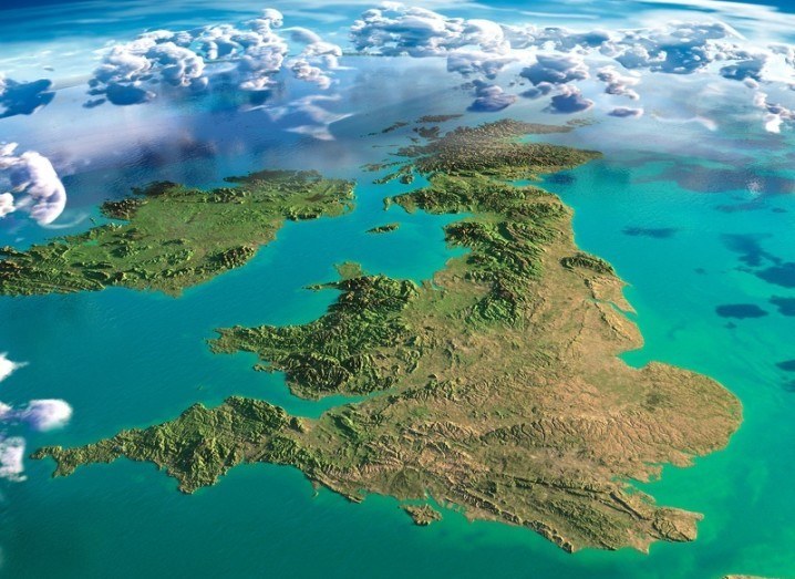
Main UK & Ireland, storm cloud and satellite images via Shutterstock