It might be worth keeping an eye out for a fleet of Apple Maps cars between 15-30 June in Dublin as the company has confirmed it is to begin recording data from the city’s streets to better improve its accuracy.
Having quite famously referred to the Airfield visitor centre in Dundrum as Dublin Airport following its launch, it might come as no surprise that Apple feels the need to improve its accuracy when it comes to place names and landmarks in the city.
Announcing where it plans to send out its fleet of Apple Maps cars, the company also confirmed it is to send similar vehicles across areas of England and the US.
“Apple is driving vehicles around the world to collect data which will be used to improve Apple Maps,” Apple said on its website.
“Some of this data will be published in future Apple Maps updates. We are committed to protecting your privacy while collecting this data. For example, we will blur faces and licence plates on collected images prior to publication.”
At Apple’s recent Worldwide Developer Conference (WWDC) the company announced a raft of new changes to the Apple Maps service for iOS 9, including the ability to receive public transport directions, something which it has had to introduce after its competing services, Google Maps and HERE maps.
However, Apple has said that in the beginning it will only be available in select cities of the US, the UK, Germany, Mexico, Canada and China.
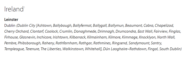
The areas of Dublin the Apple Maps cars will travel in include:
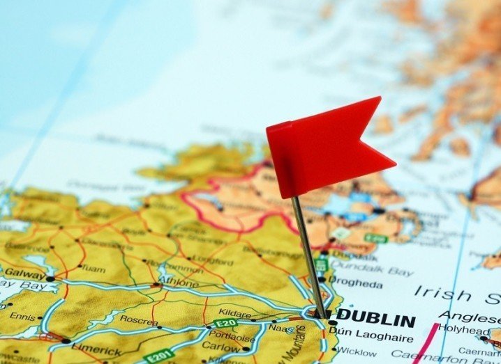
Dublin pinned on map image via Shutterstock