Google Earth just got a major upgrade after NASA’s Landsat 8 satellite’s dramatic improvements brought immense detail to shots from above.
Google Earth is certainly one of the more enjoyable applications that the internet supports. Indeed, were the entire internet to be ranked, detailed maps of the planet would surely feature near the top of the list – ahead of GPS and, even, keyboard cat.

And, now, it has received a key upgrade after Google revealed fresh imagery from NASA’s Landsat 8, a satellite that captures images with greater detail, truer colors, and at an unprecedented frequency.
Indeed, the improvement on Landsat 7 includes the fact that Landsat 8 captures twice as many images, every single day.
With that, Google has revisited its mosaic of the planet, free from obstructive clouds, resulting in better views of everywhere from London and Dublin to Beijing and New York.
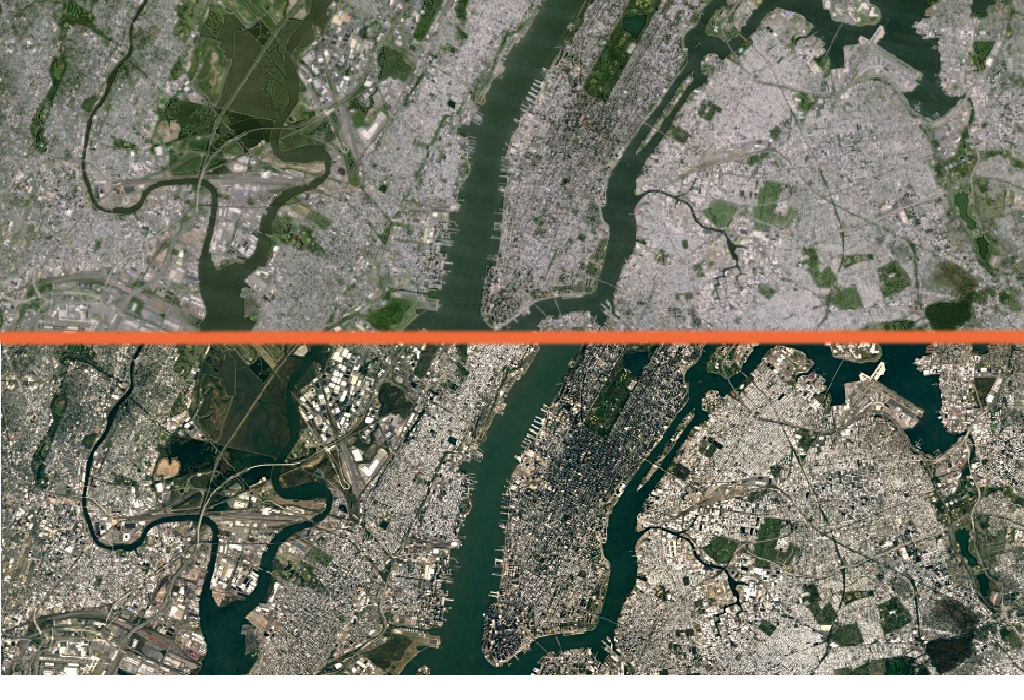
In the new view of New York City (bottom half), details like skyscrapers, building shadows, and baseball and softball fields in Central Park shine through.
Google’s previous mosaic used imagery from Landsat 7 but, due to a hardware failure, all images after 2003 were damaged, resulting in large diagonal gaps of missing data.
So, new imagery, married with the publicly available Earth Engine API used for environment monitoring, has now come on stream.
“Like our previous mosaic, we mined data from nearly a petabyte of Landsat imagery – that’s more than 700trn individual pixels – to choose the best cloud-free pixels,” said Chris Herwig, program manager of the Google Earth Engine.
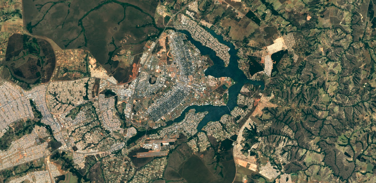
The city of Brasilia, in Brazil after Google Earth upgrade
That’s 7,000-times more pixels than there are stars in the Milky Way, with Herwig quick to thank NASA for its free and accessible open data.
Google Earth was recently used by a teenager who thought he discovered previously unknown Mayan ruins by looking through the app.
The new imagery is now available across all Google mapping products. To check it out, open up Google Earth, or turn on the satellite layer in Google Maps.
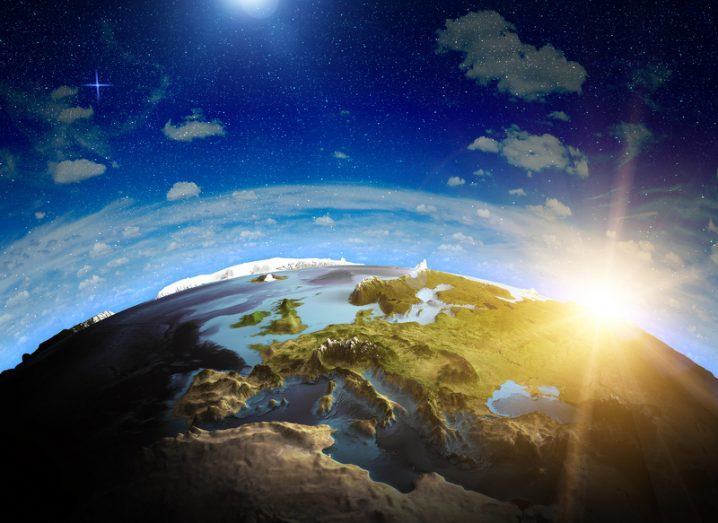
Map of Earth image via Shutterstock