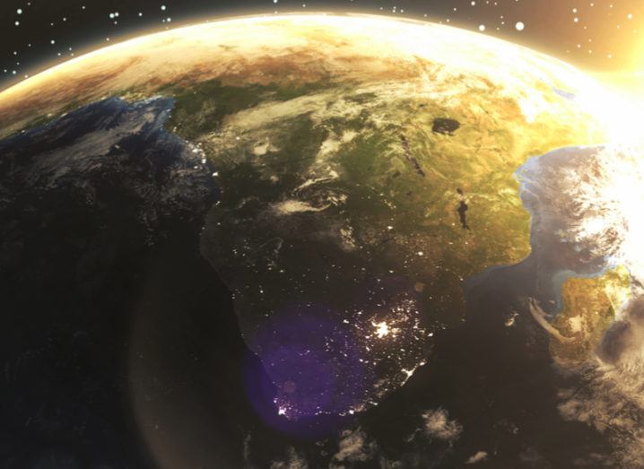
Generated image of Africa from space. Image: Jayjune69/Shutterstock
Over the course of a year, ESA collected huge amounts of satellite data to create the first high-res image of the African continent.
From space, Africa appears like a rich tapestry of wildly different environments ranging from the barren dunes of northern Africa, to the dense, green jungles of its heartland.
Now this view can be seen here on Earth thanks to the efforts of the European Space Agency (ESA), which has spent the past year collating satellite data to create the highest resolution image of the continent to date.
Created using data from the Sentinel-2A satellite, the map reveals Africa at a resolution of 20m per pixel and comprises 180,000 images representing 90TB of data.
Land-cover mapping breaks down the different types of material on Earth’s surface. This information is important for understanding changes in land use, ESA said, as well as modelling climate change extent and impacts, conserving biodiversity and managing natural resources.
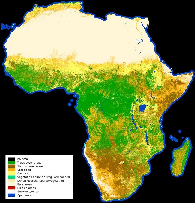
The map of Africa taken by Sentinel-2A. Image contains modified Copernicus Sentinel data (2015-2016), processed by land cover. Click to view in full resolution. Image: CCI/ESA
As the amount of data obtained by the spacecraft would be beyond the capabilities of your average computer or device, ESA’s Climate Change Initiative (CCI) Land Cover project helped develop a web interface to zoom in on specific areas.
“The prototype high-resolution land cover map at 20m over Africa is an impressive demonstration of the Sentinel-2A data availability and of the present capabilities for the processing of such huge volumes of data,” said Frédéric Achard from ESA’s Joint Research Centre.
“The community dealing with land resources in Africa will surely look forward with great interest to this prototype and to its future development.”
ESA said that with the launch of Sentinel-2B in March of this year, there is a real possibility now that it could be possible to create a map of the entire world at a resolution of 10m per pixel.