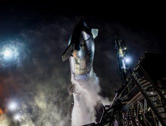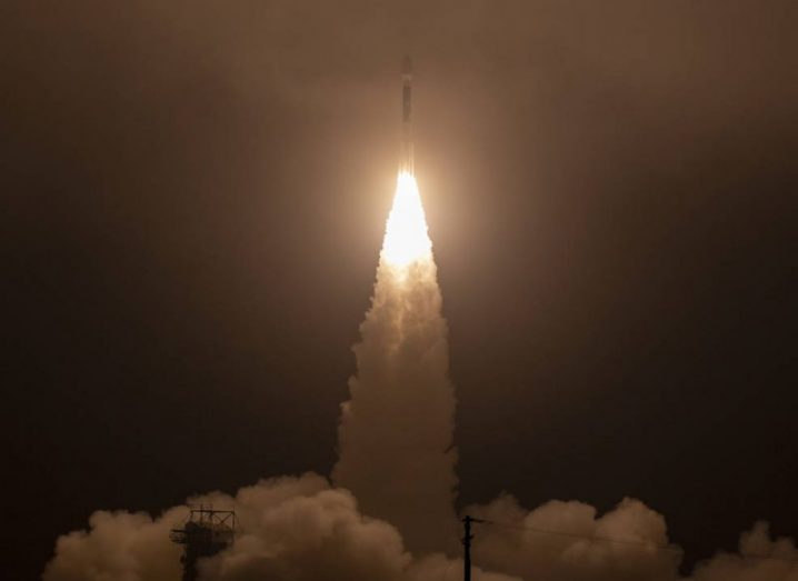
Delta II rocket. Image: NASA/Bill Ingals
NASA launches an important satellite mission to provide more information about how the frozen surfaces on Earth are being affected by climate change.
On 15 September, the final Delta II rocket launched into space from Vandenberg Air Force Base in California, carrying NASA’s ICESat-2 (Ice, Cloud and Land Elevation Satellite-2) along with it.
ICESat-2 aims to monitor the condition of Earth’s ice by providing more precise data on how global warming is having an impact on these surfaces.
Earth’s ice is in jeopardy
In recent times, numerous territories around the globe have lost volume, from Greenland to the Arctic Ocean. The ICESat-2 satellite will monitor changes in the ice from around 500km above the Earth.
The Delta II rocket first entered service in 1989 and last weekend’s launch marked 100 successful launches in a row. Delta IIs have carried payloads such as the Kepler Space Telescope and the original ICESat satellite.
The Delta II operator, United Launch Alliance, is switching to Atlas V and Delta IV Heavy fleets as well as the Vulcan Centaur rocket. The latter is still being built.
NASA will collect precise data from ICESat-2
ICESat-2 carries a piece of equipment called the Advanced Topographic Laser Altimeter System (ATLAS), which measures the thickness of Earth’s massive sheets of ice using a laser light split into six separate beams. The beams pulse 10,000 times per second.
As well as monitoring changes of polar ice sheets, the information will also help to measure the growth of Earth’s forests.
Manager of the ICESat-2 project, Doug McLennan, told Space.com: “We’re not going to turn ATLAS on for about a week and then we’re just checking it out. We don’t open up the [telescope] door for about another week. And then we start collecting early data from ATLAS, turn on the lasers and start our commissioning process.” The commissioning time period is approximately 60 days.
ATLAS will direct thousands of light pulses per second at Earth to record how long it takes for some of the photons to bounce back. Programme scientist for ICESat-2, Tom Wagner, said that the measurements will be at a much higher resolution than before. This precision will help to link the changes in forest growth and ice levels to overall climate trends. While the mission is optimised for the study of ice at the poles, it should still help researchers examining forest growth patterns.
The original ICESat mission experienced a great deal of technical problems after its 2003 launch, which limited its observations. Wagner said that the original satellite was still able to reveal a disturbing pattern. “What ICESat found is that the sea ice is actually thinning. We’ve probably lost over two-thirds of the ice that used to be there back in the ’80s.”