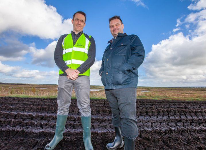
From left: Bord na Móna GIS manager Michael Lenihan and Esri Ireland client manager Phil McLaughlin. Image: Esri Ireland
The semi-State body is using Esri Ireland’s platform to see which rehabilitation measures are most appropriate on different areas of Irish bogland, to help save time and improve workflows.
Digital mapping software is being used by Bord na Móna to restore 33,000 hectares of Irish peatlands.
With commercial peat extraction coming to an end on its lands, the semi-State body is planning to implement rehabilitation schemes on 19 peatland sites across the country.
The mapping system being used comes from Esri Ireland, which specialises in the application of geographic information systems (GIS) for mapping and spatial analytics software.
Having previously worked with the mapping software company on other projects, Bord na Móna is now using Esri’s ArcGIS system to support its rehabilitation efforts.
The digital map helps ecologists analyse and examine the ground level, to see which restoration measures are most appropriate on different peatlands.
All Bord na Móna employees involved in the restoration have access to real-time information on a central system, to help save time, improve workflows and allow constant updates.
“ArcGIS is engrained in our bog rehabilitation process,” said Bord na Móna GIS manager Michael Lenihan. “With ArcGIS Online, everyone sees the most up-to-date plans, whether they are working in the office or in a bog, and this helps to ensure that ecology plans are carried out as intended.
“Without the dashboards, we would have to spend a lot of time producing PDF maps and reports. Instead, we can output progress data in a matter of minutes.”
The Bord na Móna teams can use the ArcGIS Online dashboards to generate automated reports for stakeholders such as the Department of Environment, Climate and Communications, and the National Parks and Wildlife Service.
Maps can be downloaded to mobile devices and synchronised later, to enable effective working in remote peatlands with little to no mobile coverage.
Esri Ireland client manager Phil McLaughlin said Bord na Móna’s efforts, combined with the digital mapping system, is already delivering positive results to support Ireland’s “ambitious climate goals and protecting our rich biodiversity”.
“We look forward to continuing to strengthen our relationship with Bord na Móna as it carries out this vital work,” McLaughlin added.
Esri Ireland is part of the Esri Global Network, a privately held software company with thousands of employees globally. Using GIS tech, it helps customers record where things happen and analyse why, with the aim of providing insights and helping them make better decisions.
In July, Esri Ireland released a digital map of Dublin to let people view the city’s rich array of street art and the stories behind the artists that made them.
10 things you need to know direct to your inbox every weekday. Sign up for the Daily Brief, Silicon Republic’s digest of essential sci-tech news.