
Wikipedia user community Nodegate has created an amazing interactive map out of a dataset of 8,000 known battles in the last 2,500 years
A Wikipedia user group has created an amazing interactive map out of a dataset of over 8,000 known battles that have taken place across this ravaged planet in the last 2,500 years, including that battles have taken place in some of the most remote places imaginable from remote islands to mountain tops and deserts.
There once was this beautiful blue marble of a planet that must have been a pretty peaceful place to live until a warmongering bunch called humans took over and wrecked the place. Oh yeah, it is Earth and we call this place home. And we still haven’t learned to put down the weapons.
An amazing interactive map of every battle in the last 2,500 years has been created by Wikipedia user community Nodegate after it downloaded more than 8,000 entries for battles that have taken place across the world. It is still a work in progress as Nodegate has succeeded in geocoding and dating 2,657 of these conflicts.

If you look at it from the point of view of a heat map, the majority of the world’s battles have taken place in Europe, but the former colonies (yes, America, we’re talking about you) enjoyed their fair share of bloodletting during the 18th and 19th centuries.
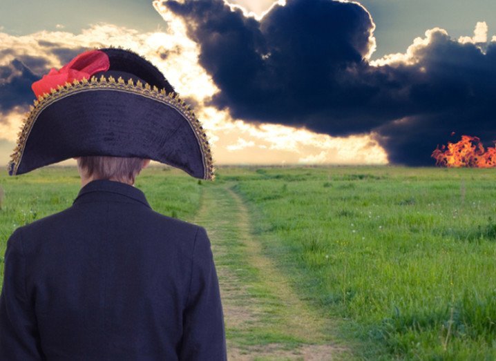
Battles of antiquity from Hannibal’s tactical defeat of a superior Roman force at Cannae in 216BC to Napoleon’s strategic masterpiece at Austerlitz in the Battle of the Three Emperors in 1805 to the Duke of Wellington and Prussian general Blucher’s drubbing of Napoleon at Waterloo just 10 years later in 1805 are well-documented affairs.
But did you know:
- One of the highest battlefields during World War II took place at the Refuge of 11 on Mount Elbrus at an altitude of 4,130 metres above sea level between Nazi and Soviet mountain troops
- In 1650, an Irish force managed to win a minor battlefield victory over a force of Cromwell’s New Model Army troops at the Battle of Tecroghan near my hometown of Trim, although the long-term strategic consequences of this victory were insignificant and that’s why we’ve never heard of this before.
- The bloodiest battle in Icelandic history took place at the Battle of Haugnes in 1246 between Viking clans Sighvatsson and Ásbirningar.
- During World War II, the war between the Allies and the Japanese reached US territory. In Operation Cottage, Allied troops decided to take back the island of Kiska in the Aleutian Islands off Alaska from the Japanese. However, they didn’t know that the Japanese had abandoned the island two weeks earlier. In an intense fog, US and Canadian troops mistook each other for the enemy, leaving 32 dead and a further 50 wounded with an additional 130 Canadians wounded from trench foot alone. Allied forces suffered over 300 casualties in total during the operation, due to stray Japanese mines, friendly fire incidents, and the difficult terrain.
The map created by Nodegate is far from complete but is a treasure trove for history buffs and armchair generals. If anything, it is a living document of the futility of war through time and space and how, ultimately, conflict never solves anything.
Enjoy!
Gigglebit is Siliconrepublic’s daily dose of the funny and fantastic in science and tech, to help start your day on a lighter note – because sometimes the lighter side of STEM should be taken seriously, too.
Battlefield general image via Shutterstock


