Google’s pursuit of mapping every corner of the globe has taken another volcanic step forward, with its Google Maps team climbing to the summit of Mount Etna.
Not content with its recent pursuit of sea life, or its slightly similarly-themed hunt for the Loch Ness Monster, Google is forging ahead with more of these fun projects.
Today it has announced that the very active volcano in the north of Italy – Europe’s largest, to boot – can now be viewed from the comfort of your own home.

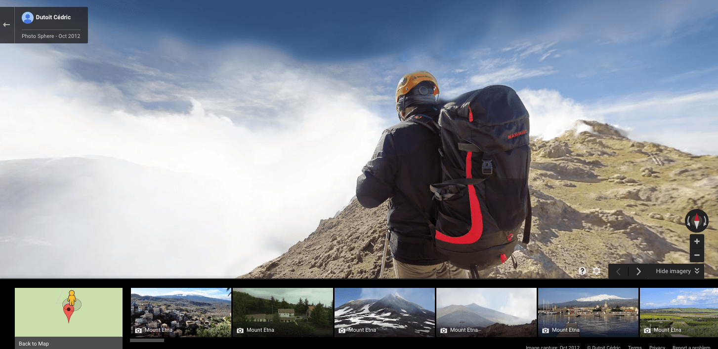
Mount Etna, via Google
Launched to celebrate the second anniversary of Mount Etna’s induction into UNESCO’s world heritage sites, the Google team hiked to the summit and captured some stunning snaps along the way, including Crater Silvani (1,000 meters above sea level) and Crater Silvestri (2,000 meters).
The Google Institute has now teamed up with Italian state bodies for an exhibition “where you can discover the unique history of Mount Etna and the art and culture of its surroundings”.
Mount Etna, via Google
Of course, as Google never gives you a single option to browse, there are other volcanoes around the world already on Maps.
“You can visit the volcanoes of the National Park in Hawaii; Crater Lake National Park in Oregon; the Meteor Crater in Arizona; Japan’s Aso volcano; and you can even walk the Nishiyama Crater Promenade,” says the company.
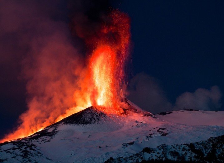
Main image of Mount Etna, via Shutterstock