The European Space Agency (ESA) has released what many would agree is a rather beautiful image of Ireland from space, featured as a multi-coloured landscape.
Images of Ireland from space have always captivated those of us down here on Earth, particularly when former astronaut and musician, Chris Hadfield, began sending snaps of his daughter’s home from the confines of the International Space Station (ISS) back in 2013.
Now, using photos collected of the Earth using the European Space Agency’s (ESA) Sentinel 1-A satellite, we are able to see Ireland awash with colours like we have never seen before.
Using multi-temporal colour images of land coverage across the island, the ESA was able to piece together a mosaic of the entire island showing the natural makeup of our island’s topography, from the coastal granite mountain fringes in the west, northwest and east, to the old red sandstone that predominates in the south.
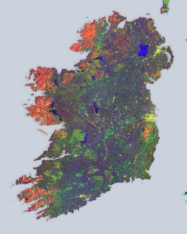
Image via Sentinel 1-A/ESA
The 16 radar scans taken by the satellite during May 2015 were taken over a period of 12 days as a way of better determining Ireland’s land cover and use.
In terms of what these colours represent, the ESA says the blues across the entire image represent strong changes in bodies of water or agricultural activities such as ploughing.
Yellow areas represent population centres, from major urban areas like Dublin right down to clusters of farmhouses.
Unsurprisingly, vegetated fields and forests appear as green, while the reds and oranges represent unchanging features such as bare soil, or possibly rocks that border the forests.
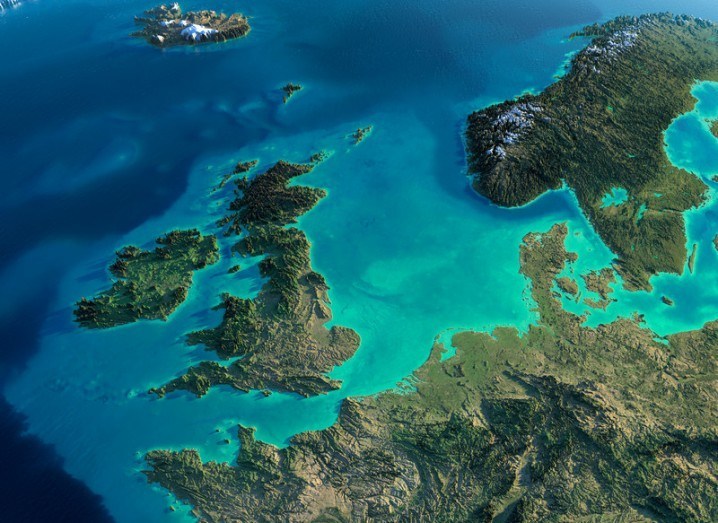
Ireland and Britain from space image via Shutterstock