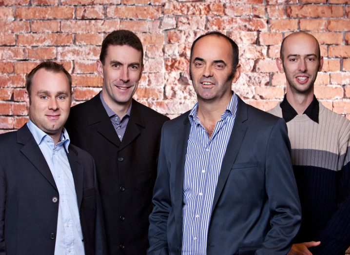
Members of the iGeotec team. From left: Ronan O'Braonain, Dr Paul Lewis, Dr Tim McCarthy (CEO), and Dr Lars Pforte
Our tech start-up of the week is iGeotec, a geospatial technology spin-out from NUI Maynooth that has developed a geoinformatics platform based in the cloud that handles GPS, digital mapping, sensors, spatial analytics, mobile and web-location enabled services.
iGeotec was set up in 2010 after it spun out from the Science Foundation Ireland (SFI)-funded strategic research centre based at the National Centre for Geocomputation at NUI Maynooth. It’s aim? To commercialise a number of emerging geospatial technologies, explains CEO Dr Tim McCarthy.
“It’s about trying to make geospatial science and technology more accessible to a wider audience,” he says.
While McCarthy is leading iGeotec, the company’s chief financial officer is Gearoid O’Riain, the managing director of Compass.ie.
“We also have an angel investor, Frank Beechinor, who co-founded One Click HR. The rest of the core technical team is made up of six additional members, with one person working full time and the other five working part time,” explains McCarthy. “We have an iOS and an Android developer, three web developers and a user interface developer.”
First product
The company’s first digital service is Ubipix. McCarthy says the best way to describe the service is to think of YouTube and Google “slammed together” but in near real-time.
People can download the free Ubipix smartphone app for both Android and iOS.
“This app allows users to record a video trail or image collections together with GPS and orientation, tag items and upload directly from their own smartphones. These digital tracks and trails are published online automatically. It’s quite fast,” he explains.
“These geospatial multimedia datastreams can be integrated with other online geographic services and organised into ‘channels’ before sharing or publication. Ubipix web services can also be customised for a particular application.”
B2B community
So who is using Ubipix? McCarthy says the B2B sector is the company’s target market for the moment. “It’s transportation, utilities, environment, municipals and emergency services – any sector that has an interest in collecting, processing and storing geospatial intelligence.”
He says the National Roads Authority, for instance, is already assessing Ubipix to help with routine road safety inspections. The Marine Institute and GSi (through INFORMAR) are looking at how Ubipix can be used in the marine environment and coastal zones.
“We are collaborating with Norwegian and German partners on a European Space Agency project, which is investigating advanced remote sensing fusion techniques for Frontex, the agency that looks after border surveillance in Europe.”
McCarthy says iGeotec is also in touch with the Environment Agency in the UK about the crowdsourcing potential of Ubipix where local inhabitants can collect, tag and upload geocoded imagery relating to flooding, for instance, so that the agency can use that information to prioritise deployment of response teams.
“We have devised a SaaS subscription charging model to deliver the Ubipix service from iGeotec’s platform. This subscription model can be adapted specifically for every client,” he says.
As well as this, iGeotec is working on a real-time streaming service, which McCarthy says may be of interest to lone workers and the emergency services.
“We also support third-party point-of-view cameras like gobandit and ContourGPS, which are integrated GPS video cameras. They deal in hardware; we’re dealing with a platform that can enable any GPS-encoded multimedia to be processed in near real-time and made available to a wider audience,” he explains.
Future plans
As for the applications for Ubipix in the consumer marketplace, he says that’s a “trickier beast”.
“Our goal would be to open Ubipix up to the consumer market.”
Firstly, however, he says the focus will be on consolidating in the B2B marketplace.
“We want to consolidate, use our resources to build a Ubipix API and open that up to the developer community. We want to enable others to come up with the ideas and build the applications. We just concentrate on the core technology and on building this service,” he explains.
“The bottom line is to get to revenue generation as fast as possible in order to consolidate the team so that next summer we should be in a position to look at some accelerated expansion.”
Advice and funding
McCarthy says the Commercialisation Office at NUI Maynooth has given the start-up useful advice and contacts. Enterprise Ireland has been particularly helpful and has just awarded iGeotec a feasibility grant.
The company also won the 2012 cloud computing challenge at the GMES Masters, the annual European earth monitoring competition that was held in Munich last week. “This event has already opened up some new doors to us,” he says.
“Back in Maynooth we’re continuing our research with mobile mapping systems and unmanned aircraft systems.” McCarthy says the company is already working on extending iGeotec’s platform to enable near real-time fusion of low-altitude airborne platforms together with earth-monitoring satellite imaging sensors for real-time monitoring over cities and natural environments.
Finally, his advice for other new technology ventures is to make sure they keep their options open when it comes to funding.
“Leverage research muscle and linkages from SFI and the commercialisation offices of universities. Concentrate on building a robust, exciting product or service and get this endorsed by others by participating in relevant technology competitions, conferences and running pilot demonstrators with potential customers,” he says.
“Keep reaching out to potential investors, partners and customers. Finally, ensure you have a roadmap for the year ahead and that the team around you is the best,” McCarthy says.