Image: © explorich/Stock.adobe.com
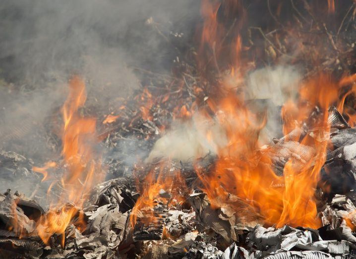
A number of rural fires have been recorded across Ireland as citizens are told to stay indoors to stop the spread of coronavirus.
With the majority of people in Ireland told to stay indoors while the coronavirus pandemic continues, ESA’s Sentinel-5P satellite has revealed what effect this has had on Irish greenhouse gas emissions.
The Irish Centre for High-End Computing (ICHEC) released imagery today (3 April) obtained from the satellite, showing an overall reduction in nitrogen dioxide (NO2) levels across the country between February and March this year.
The reduction of NO2 – represented in dark blue on the images – is particularly visible over most parts of the country, especially urban areas. However, the data also shows a number of spikes – represented in red – most likely associated with fires in rural areas.
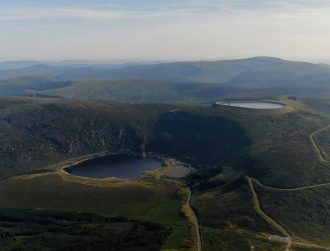
Spikes were detected in the Cork and Kerry mountains on 21 March, the Wicklow mountains on 19 and 30 March, and the Comeragh Mountains on 21 March.
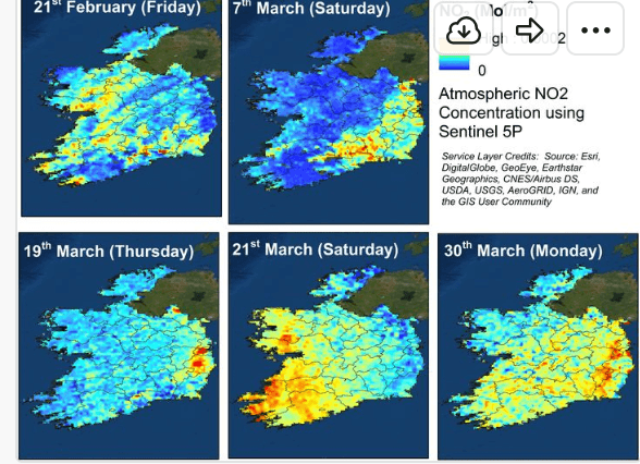
Areas in red show spikes of NO2, while blue areas show low levels of the greenhouse gas. Image: ICHEC/ESA
‘Particularly reckless’ acts
Alastair McKinstry, environmental programme manager at ICHEC, said that as NO2 is a gas created from the burning of fossil fuels, it’s highly likely that the red areas on the newly released images are related to fires.
“Deliberately burning agricultural material is not only illegal but, given the fires in the Killarney National Park in Co Kerry last weekend, is a drain on emergency services at a time when these services are already stretched due to Covid-19,” he said.
Minister for Culture, Heritage and the Gaeltacht Josepha Madigan, TD, added that setting fires during a national public health emergency was “particularly reckless”.
ICHEC Earth observation computational scientist Dr Sita Karki said that there were some limitations to the recent findings.
“One of the practical limitations we faced is that it acquires the images during the mid-afternoon and, in order to capture the effect of the fire or any event that occurred during the late-afternoon, we have to wait for the scenes from the next day,” she said.
“In that case, the gases or the pollutants might have travelled or dispersed considerably.”
The Sentinel-5P satellite recently showed CO2 levels had fallen considerably across Europe, with estimates suggesting that by May, emissions will be at their lowest levels since the 2008 financial crisis.