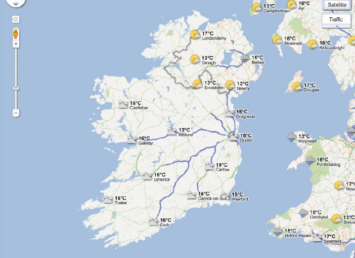
Google Maps has introduced a weather layer, providing temperatures and conditions over its mapping service across the world.
The layer can be activated from the widget on the upper right-hand corner on the web version of Google Maps.
Data for weather conditions are supplied from the US Naval Research Lab. When fully zoomed out, users can disable or enable clouds.
A closer look will provide extra information on specific towns and will also show if it’s day or night in regions across the world with sun and moon icons.
Clicking on individual cities will provide a weather outlook for the next four days, including a general forecast, humidity and wind conditions.
The weather layer for Google Maps also provides a link to an hourly or 10-day outlook of the weather from The Weather Channel.