Location check-in service Foursquare has moved from using the Google Maps API to the crowd-sourced OpenStreetMap, with start-up MapBox providing the visuals for the data.
According to Foursquare, while it had been using the Google Maps API since it started, it wanted to move to another provider due to Google’s pricing.
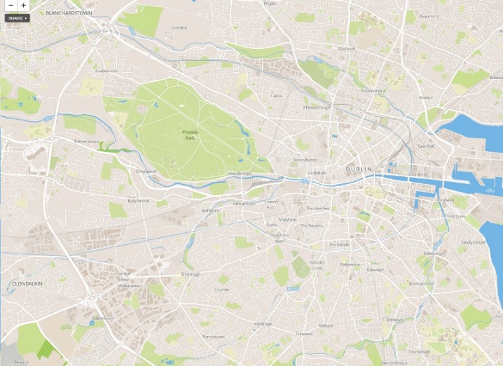
The company noticed that other companies were moving to other map options and decided it wanted to use its own maps using OpenStreetMap data.
OpenStreetMap is a crowd-sourced geographical database with 2.7bn GPS traces from more than 545,000 registered users. Foursquare worked with MapBox to provide map images for the OpenStreetMap data and will now use global block-level map MapBox Streets to power it.
Currently, this will only affect the web version of Foursquare, as Foursquare’s mobile apps use mapping components integrated with iOS and Android, which both use Google Maps.
“We love the idea of supporting open data through OpenStreetMap, and MapBox gives us greater flexibility on tile design for custom maps,” wrote Foursquare in its blog.
“And while OpenStreetMap has come a long way, there’s still a bit of work to be done to create an atlas of the whole world (the world is pretty huge). But we’re extremely excited about what we’re building towards,” it wrote.